Guide to the towns and villages of Puerto del Rosario, Fuerteventura
The Canarian municipality of Puerto del Rosario is located in the northern part of Fuerteventura with the Atlantic Ocean both to the east, and to the west. It borders with La Oliva to the north, Antigua to the south east and Betancuria to the south west. The town of Puerto del Rosario is the islands capital and the airport is located nearby to the south. Until 1956 Puerto del Rosario was known as Puero Cabras which translates as Port of Goats, and the reason is that up until the 18th century shepherds brought their goats here to eat and to take water from the ravine. During the 18th century an alter for the Virgin del Rosario was erected, this has continued to grow in importance and is the reason why the town's name was changed.
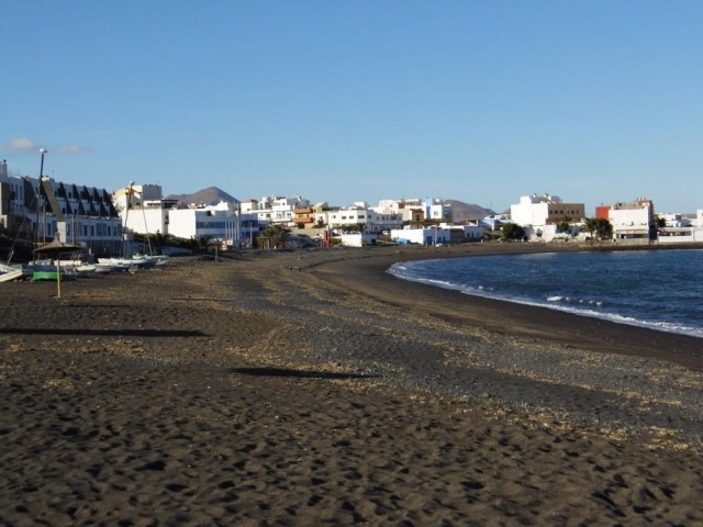
Puerto del Rosario gained status as the island's capital in the mid 19th century. Fishing and agriculture were once the primary sources of the city's economy, today it is mostly tourism. Although the city has now been largely modernised, it is adorned with white buildings of African style. it is not only home to the island's airport but houses a complete shopping centre which boasts many global brands.Please add some comments and photographs or videos to help other travellers, you don't need to register on the site to do this, but by doing so for free you get additional functionality such as your own favorites page with your own personal map which is very useful when planning your visit to Fuerteventura, or a day out.

